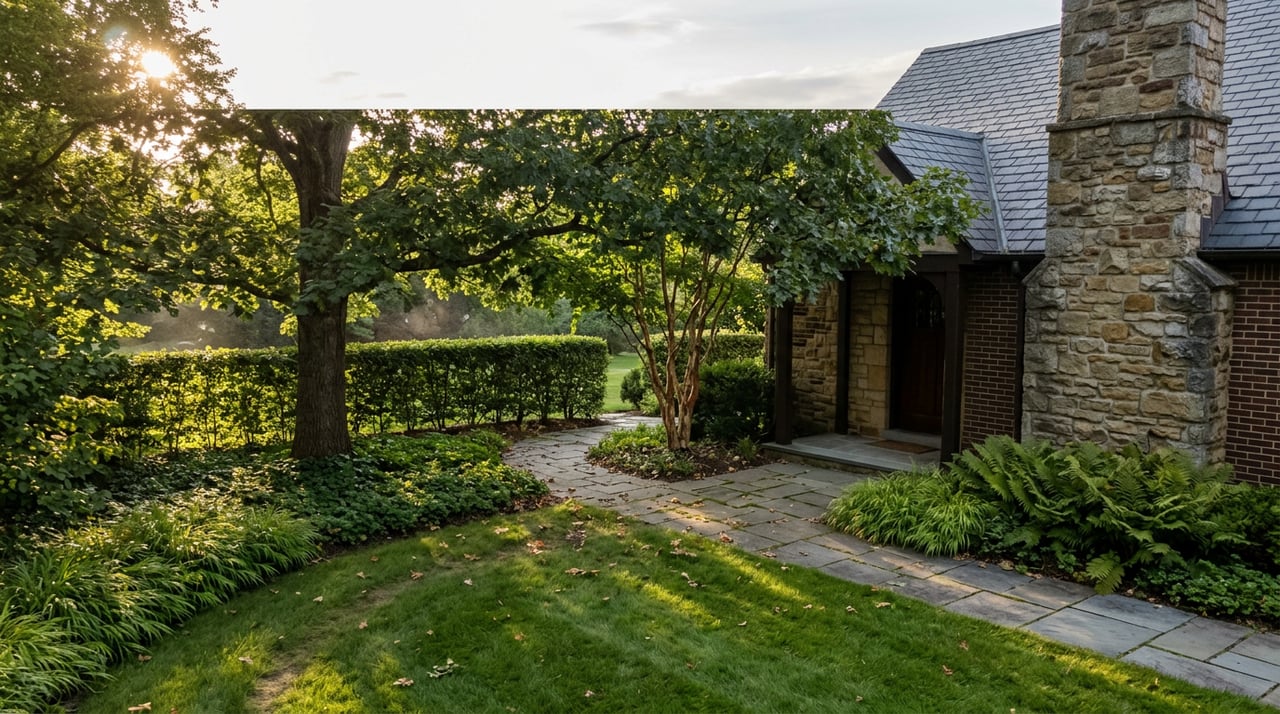
Walk the Meadow Trail down from the Parkview Drive roundabout on a Wednesday evening in late August and you'll pass runners, dog owners, and at least one family pushing a jogging stroller toward the footbridge over North Brook. Keep going past the bridge and the trail forks into a loop that circles back on itself. Stop and check the map posted at the trailhead and you'll notice something the sign doesn't explain: several of the paths shown nearby, the ones that look like they should connect, don't actually meet. They stop at a property line and pick up again somewhere else, under a different name, run by a different organization entirely.
That's the thing about walking in Haverford. Everyone who lives here talks about "the trails" like they're one continuous system. They're not. They're four separate networks that happen to sit inside the same few square miles, and knowing where each one starts and stops is the difference between an aimless loop and an actual plan for the afternoon.
The Reserve Is the Big One, But It's Not the Whole Story
Andy Lewis Community Park at Haverford Reserve is what most people mean when they say "the trails." It's Haverford Township's largest open space recreation area, and it holds more than five miles of walking paths along with a dog park, playing fields, and the all-accessible Freedom Playground. The trail names give away how the park was built over time rather than planned as one loop: the Meadow Trail descends steeply from the Parkview Drive roundabout to a footbridge over North Brook, while the Athertyn Trail and the PECO Trail, the latter running under a power line, offer a gentler grade down to the same brook. The Northbrook Trail splits off toward the Community Recreation and Environmental Center, the Veterans Trail runs a parallel route closer to the water, and the Old Gray Trail loops out through the woods on the meadow's west side before heading northeast. Beyond that, the Scout Trail winds through the reserve's northernmost woods, and the Blue Route Trail crosses under I-476 to reach a section of trails most Wednesday-evening walkers never see.
One detail matters more than the rest if you're pushing a stroller or walking with someone who needs a level surface: the first stretch of the Southbrook Trail, as far as the Switchback Trail, has a paved macadam surface. It's the one part of the Reserve built for wheels rather than boots, and it's not obvious from the trailhead which section that is unless you've walked it before or checked the Friends of Haverford Trails' interactive map.
Three More Systems the Map Doesn't Mention
Here's where the picture most people carry around in their head starts to break down. The Reserve isn't the only trail system in town, and the other three don't show up on its map at all.
- Haverford College's own paths. The campus maintains a separate two-mile Nature Walk loop, open to walkers and joggers but closed to bikes, and a paved flagstone route called the Meeting House Walk that crosses a pedestrian bridge near where College Avenue meets Railroad Avenue and leads out to the Haverford Friends Meeting House and Buck Lane. This is a different institution's property, with different rules, and it isn't listed as part of the Reserve.
- The Darby Creek segments. Three separate one-mile stretches run along Darby Creek, and as of now they are not connected to each other. The center segment, running from Merry Place on Glendale Road to Hilltop Road near West Chester Pike, is hard-surfaced and fully accessible, which makes it another good option for strollers, but you can't walk it into either of the other two segments without leaving the trail and rejoining the street grid.
- The Pennsy Trail. Built along an abandoned Pennsylvania Railroad branch line, this one has an entirely different character: a flat, paved corridor that links the Skatium and nearby neighborhoods to the Haverford Area YMCA and a signaled crosswalk at Eagle Road. It reads more like an urban connector than a nature trail, because that's exactly what it is.
None of these four systems were built by the same hand at the same time, and none of them advertise their relationship to the others. If you've only ever walked the Reserve, you've been experiencing about a quarter of what's actually mapped in the township.
The Trails Are Busier Than the Map Suggests, Too
The Reserve's trails got a formal stress test this spring. The Haverford Reserve Trail Running Series ran on Wednesday evenings from May 6 through June 10, with proceeds benefiting the township's trail system, organized through Haverford Township's Parks and Recreation department. The June date was ultimately canceled, but the series still put runners of every level through the same loop and hills that dog walkers use on an ordinary evening, and it's a reminder that this isn't a quiet, underused park. The Oakmont Farmers Market, running Wednesday afternoons since 2008, gives the same midweek rhythm to the retail side of the township.
The bigger date on the fall calendar is the Haverford Music Festival, which this year moves to Saturday, September 26, shifted from its usual post-Labor Day weekend specifically to avoid falling on Rosh Hashanah, according to the festival's own site. It's billed as the largest music festival in Delaware County and on the Main Line, drawing about 7,500 people to the grounds of the Oakmont School for a day of live music across two stages. This year's lineup includes Shannon McNally, Buffalo Nichols, and the Demolition String Band. It's held a few miles from the Reserve, but it's the kind of date that reshapes a Saturday for anyone who lives near enough to walk or bike over.
Where the Walk Actually Ends
Every one of these trail systems eventually points a walker toward the same place: Haverford Square, the shopping strip at 379 to 385 Lancaster Avenue, sitting directly across from Haverford College's campus and a short walk from the Haverford SEPTA Regional Rail stop. The center's cupola has become a landmark in its own right, and the anchor most people know it for is White Dog Cafe, marked out front by a pair of iron dog statues. Executive Chef Josh White changes the menu monthly, and the space is split into three distinct rooms, a wood-paneled Den, a farmhouse-style Kitchen, and a Living Room, each with its own feel, according to the restaurant's own site.
Around it, the square holds a mix of small, specific retailers rather than a chain-heavy plaza: a children's clothing boutique, a bridal and lingerie shop, a men's clothing store, a jeweler. It's the kind of commercial strip built for people who are already there rather than people driving in from somewhere else, which is exactly the point. If you've just come off the Southbrook Trail's paved stretch, or finished the Nature Walk loop and crossed back over the pedestrian bridge near the Meeting House, Haverford Square is close enough to be the natural next stop rather than a separate errand.
The Actual Takeaway
None of this changes what Haverford is. It changes what a walk here can actually cover if you know the seams between the four systems instead of assuming they're one. A parent pushing a stroller doesn't need to guess which section of the Reserve is paved. A runner who wants distance without repeating the same loop twice can string together the Reserve's Meadow and Old Gray Trails with a separate pass through the college's Nature Walk. Someone who wants a flat, uninterrupted stretch for an evening walk with older relatives has the Pennsy Trail or the Darby Creek center segment, both paved, both level, both entirely different in feel from the Reserve's wooded hills.
This is the kind of detail that only shows up after you've actually walked the seams, not just glanced at a park brochure. It's also the kind of texture that tells you something true about a place before you've ever thought about living there: whether the daily version of a neighborhood, the one built around dog walks and Wednesday farmers markets and a cafe you can walk to, matches the version on a listing page.
Societe Select spends as much time in neighborhoods like Haverford as the people who already call them home, because understanding how a place actually functions, trail by trail and block by block, is what makes it possible to represent it honestly to the next person who falls for it. If you're curious what a specific street or property here is worth, or what buying into this kind of daily rhythm actually looks like, book an appointment and we'll walk you through it.